free mobile website builder

Functions

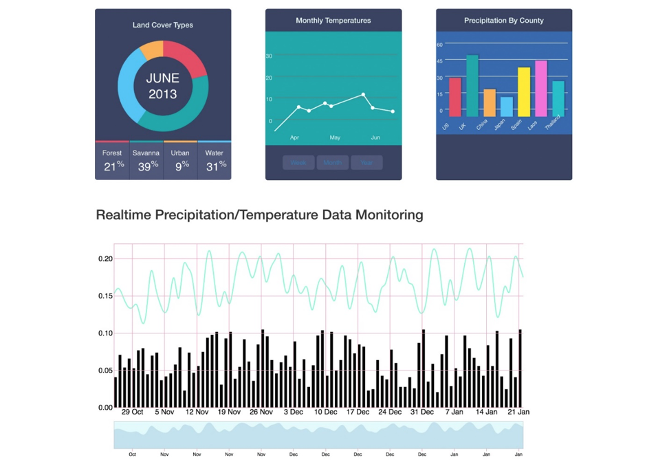
Cloud Visualization

NASA NEX & GEO Viz

Unlocking the Power of Data Through Visualisation

NASA NEX
A Web World Wind based Visualization Toolkit for
NASA NEX

Empowering users to search, explore, and access the registered Earth science-based datasets (e.g., climate data on NEX) and variables. 

Mobirise

Allowing users to interactively view and manipulate the multidimensional visualizations and/or analysis results via the NASA Web World Wind (https://webworldwind.org/) Virtual Globe Environment.

Enabling users to create, submit, and monitor visual analytical tasks via maximizing intelligent resource management functions, to ensure fast rendering and optimal resource performance (though there will be limitations based on the user role). 
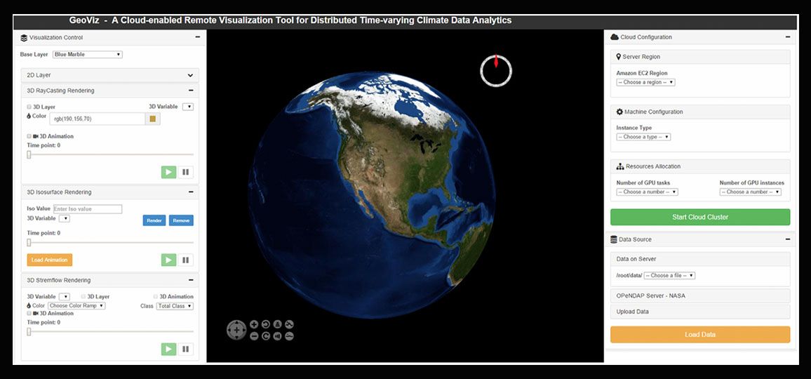
GeoViz
An Online Visualization Framework for Multi-Dimensional GeoSpatial Data

GeoVis applies visual analytics to Multi-Dimensional GeoSpatial data using Web World Wind for efficient GeoVisualization of massive climate data

Mobirise
  • Cloud-enabled Remote Visualization System - Deployed within a high-performance Cloud visualization system. Providing simple yet configurable interface to automate the access of on-demand cloud resources.
  • GPU-enabled CUDA Visualization Engine - Parallel GPU-enabled visualization engine. Parallel visualization is performed on a multi-GPU cluster using Compute Unified Device Architecture (CUDA).
  • Multi-Dimensional Visualization - Providing GPU-accelerated 3D volumetric rendering and stream renderingalgorithms. Visualize large dataset with three dimensions: latitude, longitude, and time.