Cloud Based Remote Visualization
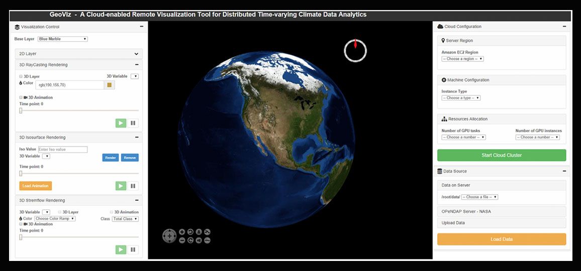
The ever-growing time-varying climate datasets pose challenges for efficient analytics using the current desktop-based or generic remote visualization tools. The tightly-coupled scalable cloud- enabled remote visualization tool that exploits the computational capabilities of Graphical Processing Units (GPUs). I have implemented three typical volumetric/3D visualization techniques to illustrate the enhanced performance offered by remote GPU clusters. This also enables fast deployment to facilitate the access of remote analytics tools by a wide range of end users.
(Read More)
Lifht Weight Data Manipulation
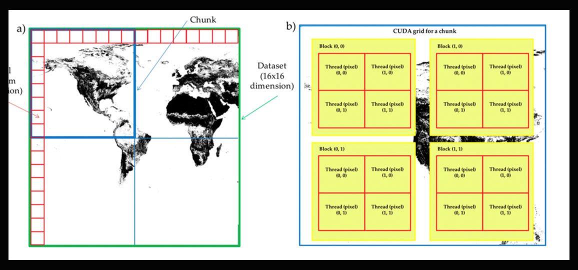
Geospatial transformations in the form of reprojection calculations for large datasets can be computationally intensive; as such, finding better, less expensive ways of achieving these computations is desired. We have developed a Compute Unified Device Architecture (CUDA)-based parallel algorithm to perform map reprojections for raster datasets on personal computers using Graphics Processing Units (GPUs). This algorithm has two unique features: a) an output-space-based parallel processing strategy to handle transformations more rigorously, and b) a chunk-based data decomposition method for projected space in conjunction with an on-the-fly data retrieval mechanism to avoid memory overflow. (Read More)
GPU Enabled High Performance LiDAR Data Processing Library
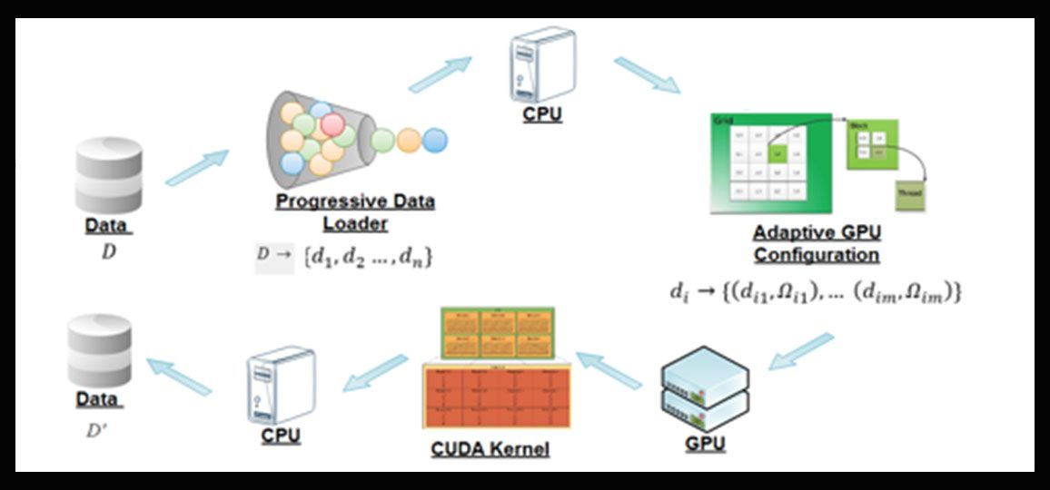
Accessibility to high resolution LiDAR datasets is essential in supporting earth science applications. LiDAR products, however, are provided at fine spatial resolutions; as such, the data volume of these products is very large, even for a small study area. Consequently, processing massive LiDAR data in a serial manner takes an extremely long time. The developed CUDA-based parallel library designed for processing LiDAR data. By exploiting the parallel computing capabilities provided by many computing cores of Graphics Processing Units (GPUs), this library can significantly accelerate the speed of geoprocessing operations for LiDAR datasets.
(Read More)


